Point cloud data is generally obtained by application 3D scanning equipment such as lidar to obtain information of several points in space, including XYZ position information, RGB color information and intensity information, etc., which is a multi-dimensional complex data collection. Compared with 2D images, 3D point cloud data has great advantages. It can provide rich geometric, shape and scale information; and it is not easily affected by changes in illumination intensity and occlusion of other objects. Thus, the 3D point cloud provides a good understanding of the machine’s surroundings.

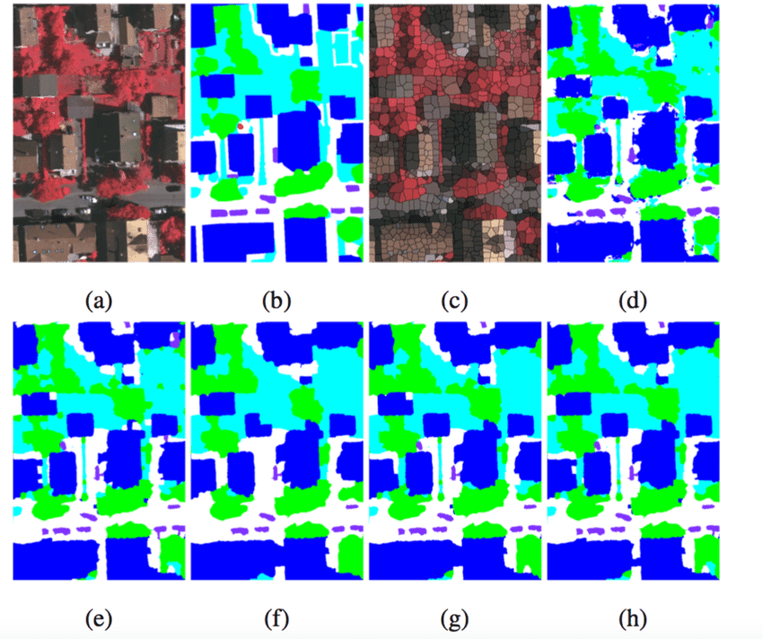
The annotation of 3D point cloud data can be accomplished by using various image processing techniques, including automatic segmentation, automatic classification, automatic image annotation, etc. First, the point cloud data can be divided into different categories using deep learning-based 3D image segmentation application technology for further labeling. Secondly, machine learning methods such as support vector machines and decision trees can be used to automatically classify point cloud data in order to label the data more accurately. Finally, deep learning techniques, such as convolutional neural networks, can be used to automatically label point cloud data, making the labeling more accurate and reliable.
What are the application scenarios for 3D point cloud data annotation?
1. Design of architecture, engineering, and civil buildings:
3D point cloud technology can carry out 3D modeling of buildings. The model can be used for precise design and analysis, and can also be used to achieve accurate measurement and positioning of buildings.
2. Geological surveying and mapping:
3D point cloud technology can use data acquisition technology to obtain accurate information in depth, such as the depth of rock formations, the structure application and chemical composition of rocks, the flow path and distribution of groundwater, etc.

3. Machine vision:
3D point cloud technology application can be used to realize machine vision, to realize robot positioning and path planning, to realize object detection and recognition, to automatically control the behavior of robots, and to realize functions such as object tracking and tracking.
4. Agriculture:
3D point cloud technology can be used in agriculture. Point cloud technology can be used to analyze the soil condition of farmland, identify the condition of crops, and analyze the growth of crops.
5. Spatial information:
3D point cloud technology can be used for spatial information, can use point cloud technology to analyze city planning, can generate more accurate city maps, and analyze various facilities and buildings in the city in a more accurate way .
In the field of application autonomous driving, the road environment point cloud data is segmented through 3D point cloud data annotation , which can identify pedestrians, cars and other objects, and help vehicles understand the road environment.

